


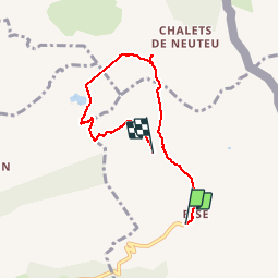

9,2 km | 22 km-effort


Utilisateur


Application GPS de randonnée GRATUITE
 SityTrail
IGN / Instituts géographiques
SityTrail World
Le monde est à vous
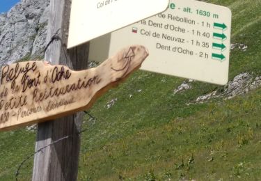
Randonnée Marche de 5,9 km à découvrir à Auvergne-Rhône-Alpes, Haute-Savoie, La Chapelle-d'Abondance. Cette randonnée est proposée par tof38.
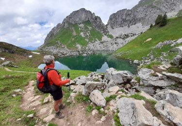
Lors de ballade panoramique sur le lac leman, et nous avons vu de magnifiques bouquetins. Ballade avec des enfants de 8 ans.

Marche

Marche

Marche

Marche
Marche

Marche
Marche
Marche
Marche nordique
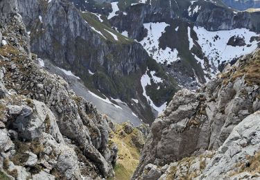
Super rando. Ne pas faire si temps humide car beaucoup de roches qui deviendraient glissantes. Paysage magnifique et grandiose.